P
P
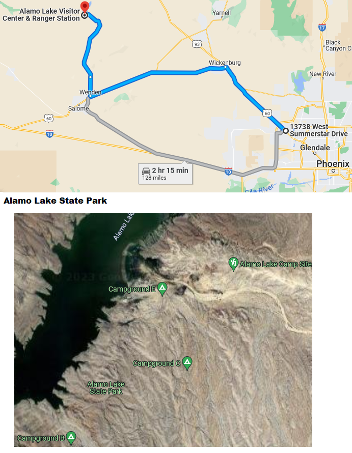
Alamo Lake State Park is located 128 miles northwest of Sun City West AZ, off state route 60. Watch for signs when entering Wenden AZ. Alamo Lake State Park is considered one of the best sites for night sky observation.
Click Here for the parks website
Directions:
Turn north at the corner of Highway 74 (Carefree Highway) and New River Road. (Near Lake Pleasant Parkway.) Then go north on New River Road about 2.1 miles and make a right turn onto a small dirt road. Go about a tenth of a mile on the dirt road so that you are well off the main road.
Pros:
Cons:
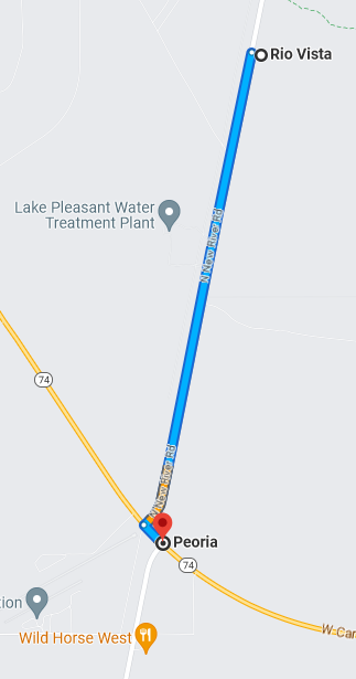
GPS coordinates: 33°50’06.0″N 112°13’59.6″W — 33.835006, -112.233226
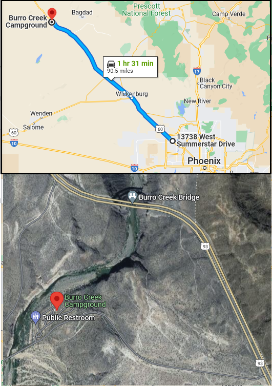
The Burro Creek Campground (1,960’ elevation) is situated along the 57 mile Burro Creek in a transition zone between the upper reaches of the scenic Sonoran Desert and lower reaches of the scenic Mojave Desert. The campground offers visitors a variety of scenery including saguaro-studded cliffs along steep canyon walls that contrast Burro Creek’s dense vegetation and flowing waters that form deep pools of water just adjacent to the campground.
Access to the Burro Creek Campground is provided via a 1.25 mile paved road from U.S. Highway 93 at mile post 140.2. The campground offers visitors 23 individual campsites, 1 group site, and 2 day-use sites featuring shaded picnic tables, fire rings with grates, and grills at the group site and day-use area. Flush toilet facilities are provided at 2 different locations in the campground as well as 1 dump station. Although water hookups are not available at campsites, drinking water is provided at various locations throughout the campground.
In planning your trip, please note that sites 1, 2, and 10 through 17 are best for larger RVs (Class A) and trailers (fifth wheels) due to maneuverability throughout the site. Other sites can be utilized for larger RVs and trailers, but it is recommended for visitor convenience that the aforementioned sites are used first.
Click here for a link to full write up of campground